
Like many other sites, Sint Maarten sites are named by the inhabitants, being it the South American Indians, the Dutch, the Spanish, the French or the English, after the special geological, historical or environmental features of the sites or gave the names of important persons or their trades. It speaks for itself that Oyster Pond was named after the oysters who grew between the roots of the mangroves surrounding the pond. People dug them out with their machetes and consumed them. The division line between the French side and the Dutch side goes trough the middle of the pond. However, it was decided that the pond is Dutch while both side of the pond are divided between the 2 nations. Oyster Pond is divided by a narrow peninsula from Oyster Bay Beach. Coral Beach Club, Princess Heights Hotel, Dawn Beach Club and Oyster Bay Beach Resort are situated around the unique binational lagoon.
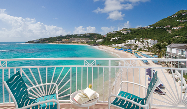
On an isthmus between the natural Oyster Bay and the ocean, one finds Oyster Bay Beach. A great location to spend a beach day and end up in adjacent Infinity restaurant when the sun has set.
Find the Oyster Bay area on the map below!
• Take a beach day on Dawn Beach!
• Take a strawl to the French side, and visit the scenic tower at the Baie de L’Embouchure natural reserve !
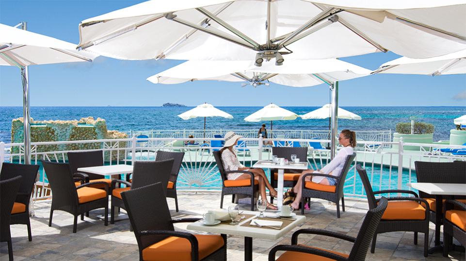
• Enjoy dinner at Infinity Restaurant, named for its world famed infinity pool!
• Go on a Nature Discovery Tour to Parrot Ville.
• Go on a boat trip with Captain Alan.
See our overview of St. Maarten taxi rates what pricing is in place from Oyster Bay to your place of departure.
Back to the Areas Menu of Visit St Maarten / St Martin
Back to Main Page of Visit St Maarten / St Martin
General Information About St. Maarten / St. Martin Page
Excursions & Activities on St. Maarten / St. Martin Page