
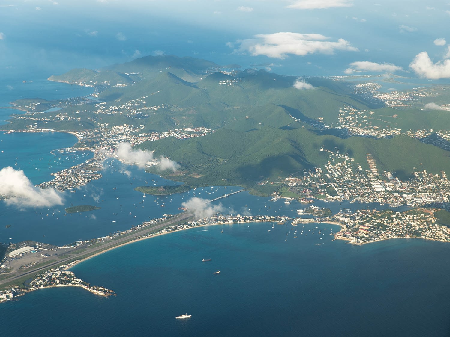
WHERE IS ST. MAARTEN?
As a small but famed island in a large region of islands, many people ask where St. Maarten / St. Martin is located exactly.
To be precise, St. Maartens / St. Martins latitude is 18° 02′ 4.99″ North, its longitude is -63° 04′ 5.20″ West.
St. Maarten / St. Martin is part of the northeastern Caribbean archipelago, surrounded by Anguilla in the North, St. Barths in the southeast, Saba, Statia / St. Eustatius and St. Kitts and Nevis in the southwest.
In the west, the British and United States Virgin Islands are the closest neighboring islands. Contrary to above islands, these can not be seen from St. Maarten / St. Martin.
If you are looking for St. Maartens geographical location for flight purposes, it might be helpful to know its IATA Aircode is SXM (Princess Juliana International Airport) for the Dutch side. Smaller Grand Case airport on the French side has ICAO code SFG.
For other Frequently Asked Questions, please see our dedicated site!
More blogs on News/things to do
Back to the Visit St Maarten Main page